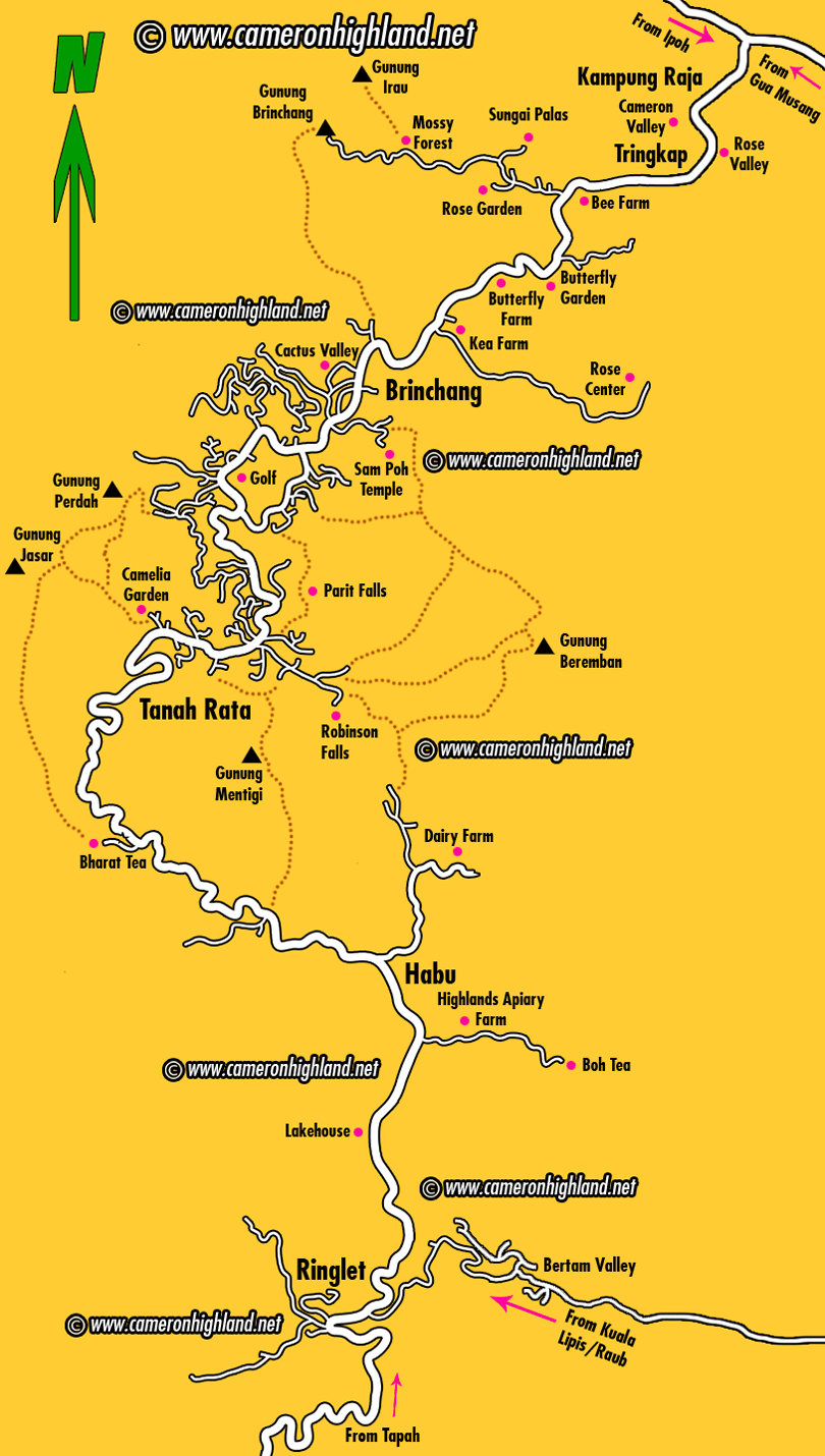
The tourist map below shows Cameron Highlands as a stretch of towns connected by a main road that starts from Ringlet, going through Tanah Rata, the biggest town, followed by Brinchang, another popular tourist spot, before finally ending all the way down to Kampung Raja after Tringkap and Kuala Terla. The main road then forks into two opposite directions heading either to Ipoh (Simpang Pulai) or Kelantan (Gua Musang). Attractions and places of interest are marked by pink spots on the map. Visitors will hopefully find this map useful for a quick and general guide to travel and explore Cameron Highlands, or to plan their route for the holiday.
 |
| click image |


0 comments:
Post a Comment